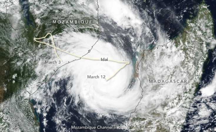
Climate experts warn that with the way the southern African region has been warming, a Category 5 tropical cyclone landing could not be ruled out - and that should this happen, the region is woefully unprepared to deal with it.
As devastation continues to spread across Mexico where Hurricane Otis made landfall over the coastal city of Acapulco on 25 October, with sustained wind speeds of 270km/h, climate experts warned that it may be just a matter of time before a similar event hits southern Africa.
At the El Niño 2023 Summit hosted at the University of the Western Cape this week, researchers from the Extreme Climate Events Research Alliance confirmed that climate change was no longer regarded as a future threat.
New climate and weather records, as well as extreme events around the world, are becoming the norm.
Prof Erich Fischer - a lead author of the IPCC Sixth Assessment Report and lecturer at ETH Zürich - said that one only needed to look at Otis, the first Category 5 cyclone in recorded history to strike Mexico. This is the most intense type of cyclone, generating winds of at least 240km/h.
What was particularly significant, Fischer said, was that Otis went through a period of rapid intensification, moving from a tropical storm to a Category 5 hurricane within 24 hours, and that it made immediate landfall.
"From weather and climate perspectives, this is a very unusual event and it...


