Arbitrary boundaries were drawn on maps to separate European colonies in Africa. Most of those lines drawn on a Berlin Conference table between 1884 and 1885 are still in place today - with deadly consequences.
Why is the Caprivi Strip symbolic of colonial era mapmaking?
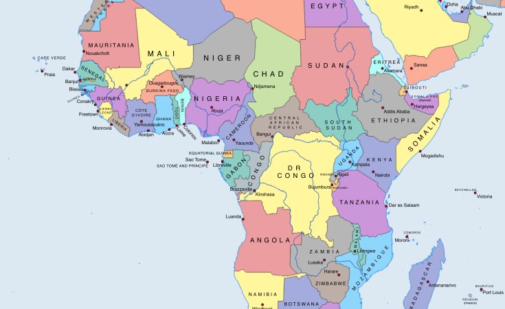
It's one of the weirdest looking territories on a map, and forms part of Namibia. It looks like a pan handle, has parallel straight lines 30km (19 miles) apart, and traverses savannah and river systems - including the mighty Zambezi. It was created by European diplomats desperate to gain territory for their respective nations without causing conflict with competing European neighbors. Very few had actually visited the territory they were carving up, but they wanted to avoid other colonial powers from forming continuous, land axes going in East-West or North-South directions.
How was the Caprivi Strip formed?
After the 1884 Berlin Conference, German South West Africa was isolated from German East Africa. Separating them were the British Protectorates of Bechuanaland (Botswana today), northern and Southern Rhodesia (today's Zambia and Zimbabwe). So, in 1890 German Chancellor Leo von Caprivi negotiated with Britain for a strip of land that would allow German access through South West Africa to the Zambezi River, which Germany knew mouthed in East Africa.
For this potential trade route, Germany agreed to recognize British influence over Zanzibar and Pemba, just off the coast of German East Africa, and Germany would get the tiny naval base of Heligoland in the North Sea off the German coast. This became known as the 1890 Heligoland-Zanzibar Treaty between Britain and Germany.
What was the problem?
Germany now had the fourth largest colonial empire. But just 40 kilometers east of where the Caprivi Strip ended, the mighty Mosi-oa-Tunya, or Victoria Falls, rose.
This magnificent natural wonder rendered the Zambezi unnavigable, and the German plan was scuppered.
What have been the consequences of this geographical oddity?
Multiple ethnic groups, who spoke over a dozen languages, suddenly found themselves in 4 different colonial territories.
While the Caprivi Strip remained relatively peaceful during colonialism, mainly because Germany had limited interest in the area, this would change when Germany lost its colonies at the 1919 Treaty of Versailles. Namibia, or South West Africa, became a mandate of South Africa, with a view of becoming independent down the line. But this did not happened - at least until 1990. Instead, South Africa introduced its apartheid policies, and made the Caprivi rulers a puppet regime.
And from the 1960s, the Caprivi Strip's strategic geopolitical location meant it was hotbed of war and incursions between South African military forces and liberation fighters launching cross border raids related to the Angola Civil War, the Border War and the Rhodesian Bush War.
That's three separate conflicts which had very little to do with the people living there, and everything to do with foreign powers trying to assert dominance over the region. The guns only fell silent in the late 1990s, after a brief attempt by local Caprivians to secede from the newly independent Namibia failed in 1999.
What other conflicts over colonial era borders exist in Germany's former colonies?
In Cameroon, the Bakassi conflict erupted in the 2000s between Nigeria and Cameroon over the Bakassi peninsula. Here, Nigerian nationals had lived for generations on land claimed by Cameroon based on colonial era agreements. Sporadic clashes still occur, despite an International Court of Justice ruling in Cameroon's favor.
Togo, which borders modern day Ghana, was also divided between France and Britain in 1919, along an artificial border. This was rejected by the local Ewe people, who now found themselves in two separate countries. "British Togoland" or Western Togoland was then incorporated into Ghana in 1956 after a vote. However, the Ewe majority regions actually voted to remain under a United Nations mandate. To this day, some Ewe groups demand a separate homeland, and the Ghanaian government has increased pressure on activists through arrests and military presence in the region.
Sign up for free AllAfrica Newsletters
Get the latest in African news delivered straight to your inbox
And in Tanzania, thanks to the 1890 Heligoland Zanzibar Treaty, the very same deal that created the Caprivi Strip there is a long running dispute with Malawi over who controls Lake Malawi or Lake Nyasa, as Tanzanians call it, there is a dispute over where the border lies. Very basically, according to the Treaty, the border runs along the Tanzanian shore. Tanzania argues that boundary should be in line with numerous other borders and agreements regarding lakes and run through the middle. These are two irreconcilable positions lay dormant, until 2011, when Malawi allowed oil exploration in Tanzania's claimed area of the lake.
Shadows of German Colonialism is produced by DW, Germany's international broadcaster with funding from Germany Federal Foreign Office (AA). Consulting was provided by Lily Mafela, Kwame Osei Kwarteng and Reginald Kirey.