-
West Africa: In the Sahel, Pastoralists Rely On Satellites to Search for Water
UNEP, 17 January 2019
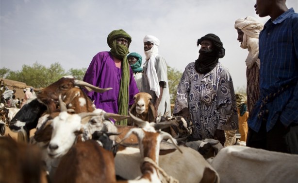
In the Northern Malian region of Gao, Adoum looks at his phone. It's time to go find greener pastures for his herd. He has a few spots in mind but needs to gather more information… Read more »
Malian Pastoralists Turn to Satellites in Search for Water
In the Sahel, climate change has translated into more frequent, longer drought spells that threaten the resilience capacity of nomadic livestock pastoralists but with satellite imagery, information on water and vegetation cover is available in real time, with enormous benefits for the herders, saving them time, money and, potentially, their livestock.
InFocus
-
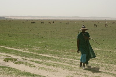
Devastating drought combined with unpredictably heavy rains has wiped out agricultural livelihoods. Read more »