-
Africa: Satellite Alerts Seen Helping Fight Deforestation in Africa
Thomson Reuters Foundation, 4 January 2021

Near real-time data pinpointing tree losses is helping African countries tackle deforestation, finds study Read more »
-
Africa: Mars Achieves 'Deforestation-Free' Palm Oil - What About the Rest?
Thomson Reuters Foundation, 8 October 2020

Effort is needed to help all producers stick to green standards, rather than just cutting out those who don't, say forest experts Read more »
-
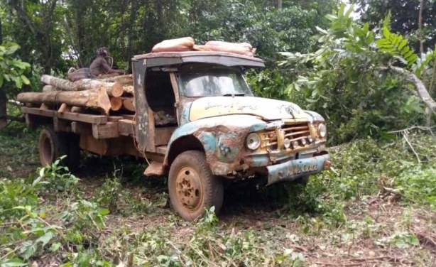
Africa: How Poverty Is Causing Deforestation Across Africa
Chatham House, 7 December 2018
Gitika Bhardwaj speaks to campaigner Obed Owusu-Addai about why solving the problem of deforestation across Africa requires tackling one of its biggest causes - poverty. Read more »
Satellite Alerts Helping Fight Deforestation in Africa
Near real-time data pinpointing tree losses is helping African countries tackle deforestation, a study finds. A system using satellite data to send free alerts when trees are destroyed has been linked to a significant drop in forest losses in Africa, researchers and academics have said. Deforestation dropped by an average of 18% across nine central African countries after the alerts were introduced, found a study published in the journal Nature Climate Change. Trees absorb about a third of greenhouse gas emissions produced worldwide, but tropical rainforests disappeared at a rate of one football pitch every six seconds in 2019, according to data published by Global Forest Watch. The study looked at whether the alert system - launched by the Global Forest Watch monitoring project in 2016 - was affecting tree losses in 22 tropical countries in South America, Africa and Asia. It draws on satellite images updated every eight days, and uses artificial intelligence to identify where trees are vanishing by comparing pictures. It then warns subscribers covering the area so they can investigate and take action.
InFocus
-
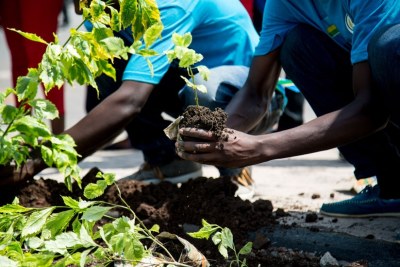
It's Arbor Month in South Africa and the government has encouraged its citizens to get their hands dirty and plant trees. Dedicating a month to tree-planting may seem a laudable ... Read more »
-

The loss of huge swathes of forest has major implications for climate change as they absorb a third of the planet-warming greenhouse gas emissions produced globally, experts say. Read more »